Old Man on His Back Prairie and Heritage Conservation Area - Saskatchewan | Nocturnal Preserve
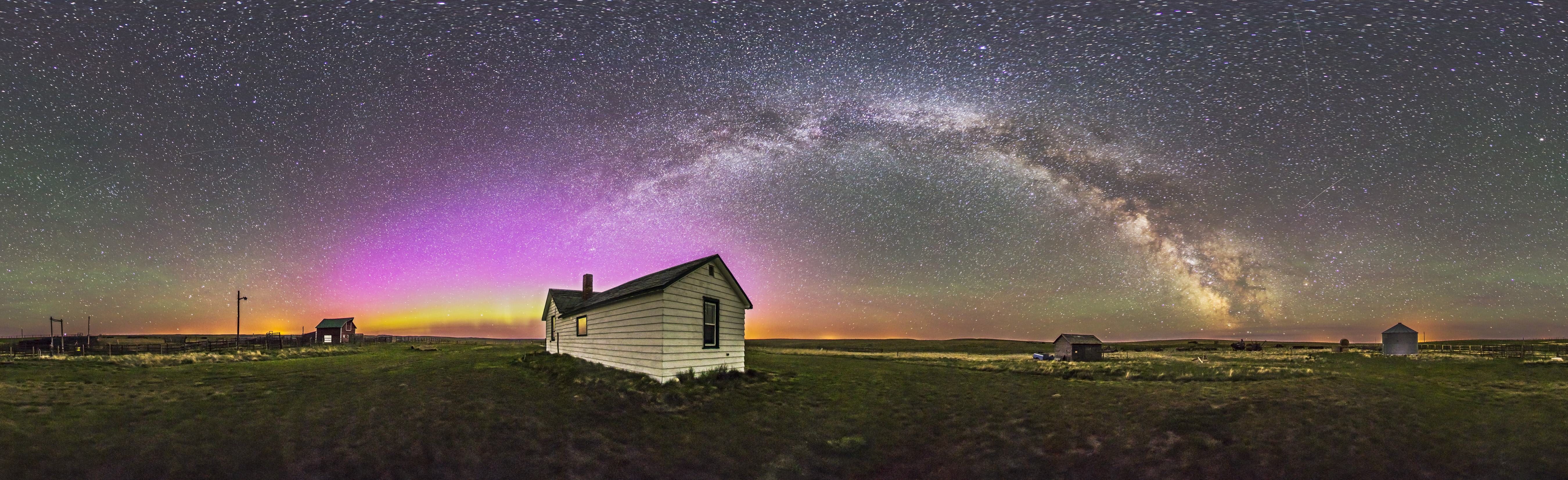
Photo: Alan Dyer - AmazingSky.com
Old Man on His Back Prairie and Heritage Conservation Area (affectionately known as OMB) was acquired by the Nature Conservancy of Canada in 1995 from ranchers Peter and Sharon Butala. Designated in 2015 in partnership with the Nature Conservancy of Canada, Old Man on His Back became the second of RASC’s Nocturnal Preserves mere weeks after Ann & Sandy Cross Conservation Area (southwest of Calgary, AB) was designated.
The property consists of 5,297 hectares of native mixed grasslands on semi-arid, rolling prairie located in a remote part of extreme southwestern Saskatchewan. The area provides habitat for a number of species at risk, including the ferruginous hawk, swift fox, and burrowing owl. The property itself is one of the best remaining examples of native grasslands, which are the most endangered ecosystem in the world (for more on this, check out the episode of the Nature Conservancy of Canada's NatureTalks podcast on this page). More than 50% of grasslands have been lost to settlement and conversion to croplands. OMB is bordered on three sides by federally and provincially owned community pasture, which forms a large block of intact native prairie.
While there are no designated trails at OMB, hiking is permitted. Hikers should be aware of the free-ranging herd of plains bison (Bison bison bison) on the property and take appropriate precautions. OMB contains bison rubbing rocks and wallows, tipi rings, cairns, and a medicine wheel. Historic farm machinery and buildings can be seen at the Interpretive Centre. The Centre is open on Saturdays and Sundays from May 15 to September 30 and on weekdays by appointment. It features a parking area, open grass tenting and interpretive displays, and public washrooms. Due to the limited hours, persons wishing to tour or camp should inquire ahead of time to make arrangements for visiting. The Centre also includes two researcher guest rooms with a common kitchen and visiting area. If these are not occupied, it may be possible to rent a room as a base for astronomical observing or delivering outreach. For inquiries, please call 1-866-622-7275. Visit this page for other important information about your visit to OMB.
The area offers spectacular wide views and low horizons. To the south, beyond the sweeping Boundary Plateau, Montana’s Sweetgrass Hills are visible on clear days. Nighttime skies are breathtaking. This is Bortle 1 sky with a naked eye limit beyond 8th magnitude and a sky quality reading of 21.8 mag/arcsec2, similar to the nearby Grasslands National Park Dark-Sky Preserve. True darkness allows for visual airglow to be present at the horizon, but the property is far enough south that the aurora is seldom bothersome. The Interpretive Centre has an 8-inch Dobsonian telescope onsite, but arrangements must be made ahead of time to use it (interpreters may trade use for a training session).
Several other grassland preservation sites are located in the region, along with the notable ghost town in Robsart, where weathered remains of early town and farm buildings remain. Traditional grain elevators can still be seen in some communities. Two RASC Dark-Sky Preserves can be found relatively nearby: Cypress Hills to the northwest, and Grasslands National Park to the east.
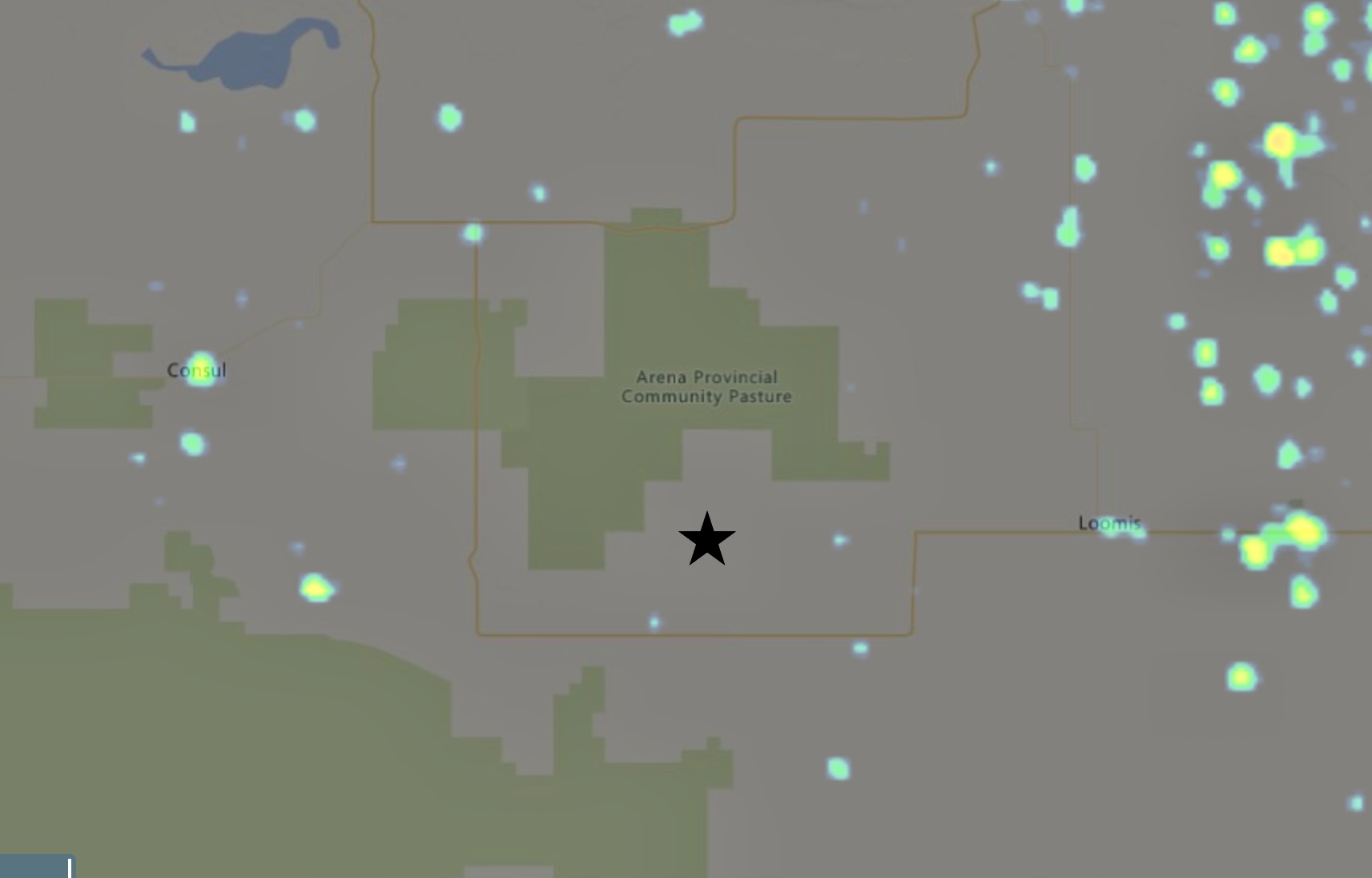
Given its remote location, very few services are available around OMB. Visitors should be self-contained, with plenty of fuel, food, and water, and be prepared for sudden inclement weather. The region is wide open prairie, with no trees or shelter. Gas is available at Consul (70 km), Frontier (40 km), and Climax (50 km), with a full range of services at Eastend (65 km) and Shaunavon (100 km). Drive with caution as roads may be poor in the area.
Getting there:
From Regina:
Travel west on Hwy 1 to Gull Lake Access road (Hwy 37). Travel south on Hwy 37 to Hwy 18. Turn west on Hwy 18 and follow to Claydon. At Claydon, continue west along the gravel road for 15km (don’t continue on Hwy 18 south past Claydon). Follow the gravel road. The Interpretive Centre and parking are located on the south side of the road. Travellers should note that the gravel road west of Claydon gets very slick when wet.
From central Saskatchewan:
From Hwy 1, turn south on Hwy 37 at Gull Lake. Turn west on Hwy 18, continuing to its southward bend at the tiny hamlet of Claydon. Here, where Hwy 18 turns south, a decision is necessary: in good road conditions, continue straight west along the lightly gravelled clay road for ~15 km to the Interpretive Centre. If road conditions are poor or rain is forecasted, continue south on Hwy 18, then west, to the gravel road leading north at the tiny community of Divide. Travel north until the road bends eastward, where the small Interpretive Centre is visible.
From the west:
From Hwy 1 turn south on Hwy 21 toward Maple Creek. Continue south on Hwy 21, past Cypress Hills access, to Hwy 13. Turn east on Hwy 13. Turn south on Hwy 18 near Robsart; continue eastward at the bend (watch for pronghorn) and follow to the Divide Road (approx. 38 km from Hwys 18/13). At Divide Road, turn north for about 6.5 km; the Interpretive Centre is on the south side after the bend eastward.
Visit their website!